The Palouse to Cascades Trail
From the densely forested Cascades to the scablands carved by the Ice Age floods, Palouse to Cascades State Park Trail gives hikers, cyclists and equestrians a taste of Washington’s diversity. This linear park runs from west of North Bend to the Columbia River near Vantage – and continues from the town of Lind to the Idaho border.
Heading east on this historic rail trail (part of the Chicago, Milwaukee, St. Paul, and Pacific Railroad from 1909 to 1980), travelers pass lush, vast Olallie State Park, with its waterfalls and seasonal colors. Explorers continue through the mountain pass into dark tunnels and over high trestles, until the landscape gives way to the amber-hued farmlands of eastern Washington. And, railroad buffs, don’t miss the historic train depots at South Cle Elum and Kittitas along the way.
You can take this trail in one-day sections or as a long-distance hiking, biking, or riding trip through diverse environments. Trailheads and access points are located every few miles along the trail. Camping can be found at Lake Easton State Park, just off the trail near Easton, and Wanapum Recreation Area, a few miles south of Vantage. Primitive campsites are available west of Thorp along the trail.
History of JWPWR
The Milwaukee railroad built the Chicago to Seattle line between 1906 and 1909. In 1915 it was electrified. The last train ran in 1972 and the route was abandoned in 1980. There was immediate controversy on how to use the right of way. Chic Hollenbeck, founder of the original JWPWR group, spearheaded the effort to convert the right of way to a trail for equestrians. Imagine how happy he would be with the progress of the trail today.
Use
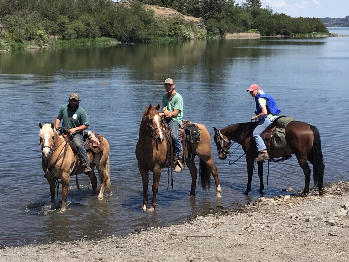
The trail is open to all non-motorized uses. Its gentle gravel surface is popular with cyclists, hikers, birders, horseback riders, teamsters and cross country skiers. The western segment, which is closer to Seattle and more accessible, is more heavily used than the eastern segment.
Plan ahead - Long distance trips require planning and extra gear and provisions, particularly water. Some detours are needed around rail lines, missing bridges and private property. Be sure to check conditions before you go. The state-managed corridor is typically 50 feet on either side of the center of the trail, but this varies. Please respect private property along the trail.

Further information on the “Palouse to Cascades” trail can be found below: